


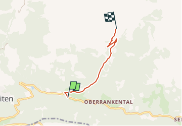

3.8 km | 6.5 km-effort


Tous les sentiers balisés d’Europe GUIDE+


FREE GPS app for hiking
 SityTrail
IGN / Geographical institutes
SityTrail World
The world is yours!
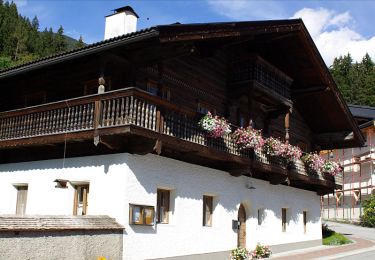
Trail On foot of 3.2 km to be discovered at Salzburg, Bezirk Zell am See, Gemeinde Wald im Pinzgau. This trail is proposed by SityTrail - itinéraires balisés pédestres.
Trail created by Sektion Oberpinzgau.
Symbol: Gelbe Wegweisschilder mit schwarzer Schrift
On foot
On foot
On foot
On foot
On foot
On foot

On foot

Walking

On foot